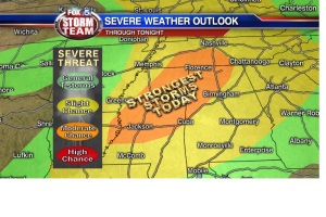
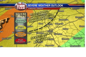
T-storms will develop late tonight with severe weather likely in the overnight hours. This is a dangerous situation in which tornadoes could develop overnight and toward the predawn hours of Tuesday morning.
SET UP: An intense storm system similar to the one that affected the southeast in April of 2011 brought devastating tornadoes to Arkansas last night and is producing tornadoes today in Mississippi. That line will continue to move east this evening reaching northwest Georgia by midnight. The greatest risk is out to our west in Mississippi and Alabama with our area under a slight risk for damaging winds and tornadoes.
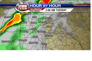
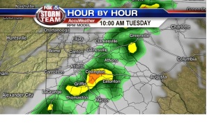
TIMING: A line of t-storms capable of producing damaging winds and tornadoes will approach NW GA around midnight or just there after. That line will slowly move east-northeast and will eventually reach metro Atlanta around 6am and then toward Athens by 10am. Damaging winds and tornadoes will be possible along that line the entire time it is in our state, so be sure to monitor the weather for any warnings issued for your area and have a safety plan in place in the event that you are affected by the storm.
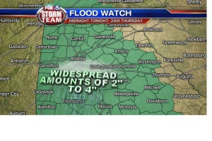
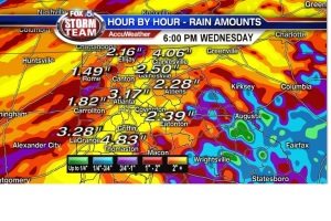
HEAVY RAIN: Persistent t-storms will also help to produce localized heavy rain totals which could lead to flooding. A Flood Watch is in effect from midnight tonight to early Thursday morning. Rain totals could reach 2-4″ in some spots.

